World map / Antarctica map
Antarctica rooms
-
 Forests and the ice A continent that grew forests inside the polar circle, then took on its ice sheet about 34 million years ago. No city has been published from under the ice.
-
 Pyramid-like peaks A nunatak in Queen Maud Land was named Pyramiden, the pyramid, because that is what it looked like from the air. The same silhouette is a glacial horn, and it is also the shape people compare with a building.
-
 Charts of a southern land Three charts draw land across the far south. One reading says they copy an older survey of an ice-free coast. Another says they extend a known shore, or a southern continent that mapmakers already liked to draw.
-
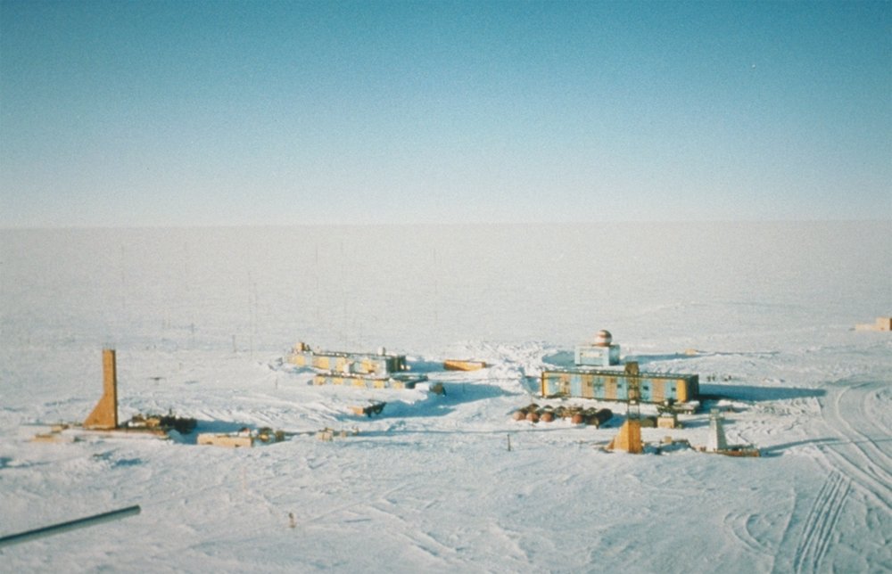 Under the ice Radar, seismic lines, and a borehole at Vostok have returned ice, water, buried mountains, and mud. A habitable shore or a work could still sit between the lines. No city, wall, or tool has been published from under the sheet.
